Thames Marine Mammal Map
An interactive citizen science map built for the Zoological Society of London’s Thames seal conservation project.
A decade since its launch, still attracting hundreds of sightings every year.
Features
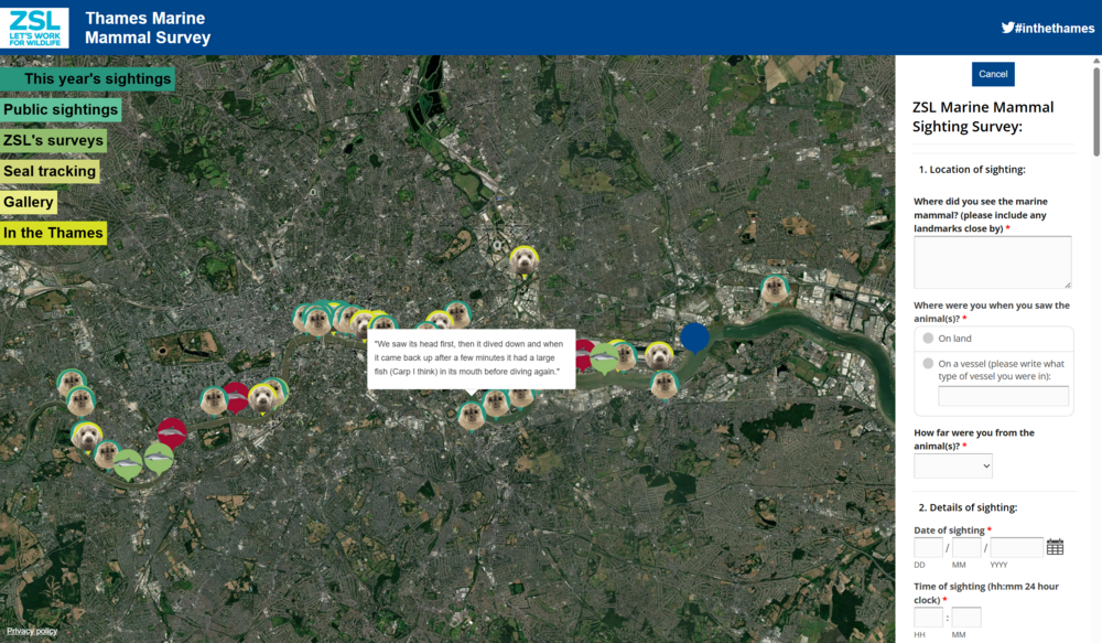
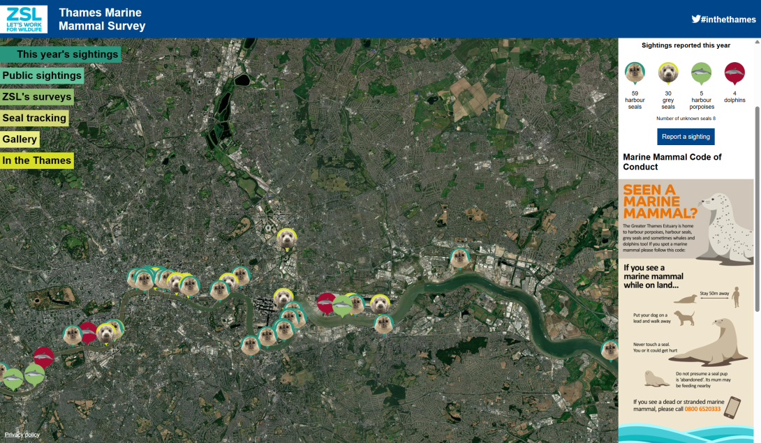
A reporting system where more than a thousand sightings of seals and other marine mammals have been logged and appear on the map with stories, images and other information.
An interactive presentation of ZSL’s seal surveys with boat and plane routes and photos from the survey.
Animated and interactive presentation of seal tracking data for 10 seals including locations and a depth gauge.
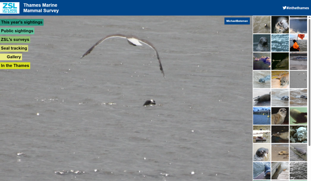
A photo gallery.
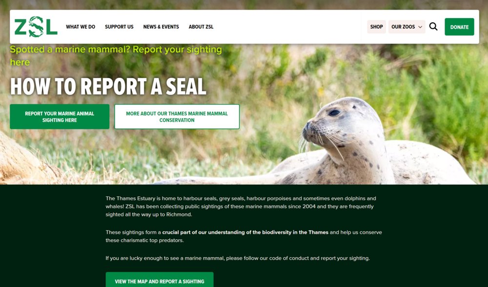
A code of conduct for being around marine mammals and information about the region and wider ZSL conservation work.